About Wollondilly
About Wollondilly
Wollondilly, a Gundungurra word, warlandiilii is a spot near the junction of Paddy’s River upstream of Burragorang Valley and means place of rock Crystal. Recorded by Throsby in 1819 at the spot and again by Bennett in 1908.
Also connected to the name “A place where spirits dwell” and “Water trickling over rocks” make reference to a legend about the burning black coal that was carried inside the skull of a bunyip, within a basket woven of waratah stems. “Worron” means black coal and “dilly” means carry basket.
Wollondilly Shire is located at the south western fringe of the Sydney metropolitan area – about 75 kilometres from the Sydney CBD. Wollondilly Shire is bounded by Blue Mountains and Penrith cities in the north, Liverpool, Camden, Campbelltown and Wollongong Cities in the east, Wingecarribee Shire in the south and the Goulburn Mulwaree and Oberon Council areas in the west.
Wollondilly Shire includes the townships and rural localities of Appin, Bargo (part), Belimbla Park, Brownlow Hill, Buxton, Camden Park, Cataract (part), Cawdor (part), Couridjah, Darkes Forest (part), Douglas Park, Glenmore, Lakesland, Maldon, Menangle, Mount Hunter, Mowbray Park, Nattai, Oakdale, Orangeville, Pheasants Nest, Picton, Razorback, Silverdale, Tahmoor, The Oaks, Theresa Park, Thirlmere, Wallacia (part), Warragamba, Werombi, Wilton and Yanderra.
Wollondilly Shire is predominantly a national park and rural area, with urban areas in fifteen towns and villages. Two-thirds of the population live in the urban centres, and one-third in the rural areas. There are five large towns, the largest of which is Tahmoor, Picton is the administrative centre of the Shire. The Shire encompasses a land area of 2,557 square kilometres 90% being national park, bushland, water catchment or rural land, including gorges, ranges and plains. Most of the rural land is used for agricultural purposes, including market gardens, orchards, dairy farms, poultry farms and grazing. Coal mining is also a major industry.
The original inhabitants of the Wollondilly area were the Gundangurra people. European settlement dates from the early 1800s, although the area was explored in 1795 when white settlers followed the First Fleet's straying cattle. Appin was one of the first townships established, developing from the 1810s. Some growth took place from the 1860s through to the 1880s, spurred by the opening of the railway line, the building of Cataract Dam and the establishment of silver mining. Towns and villages developed on travel routes, especially around railway stations. Some growth took place in the late 1910s, following the construction of a two track railway deviation (through Bargo and Tahmoor). The most significant development occurred during the post-war years, aided by the opening of coal mines in Appin and Tahmoor in the 1960s and 1970s. Growth continued, although at a slower rate, from the 1980s. The population of the Shire increased from 30,000 in 1991 to 50,877 in 2017 and 54,176 in 2021. The population will continue to increase significantly in Wilton, as well as smaller growth around the existing urban areas of Appin, Bargo, Picton, Silverdale, Tahmoor, Thirlmere and Warragamba.
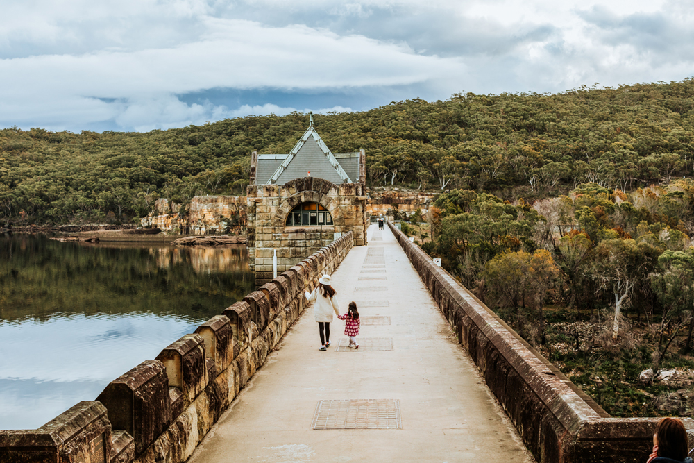
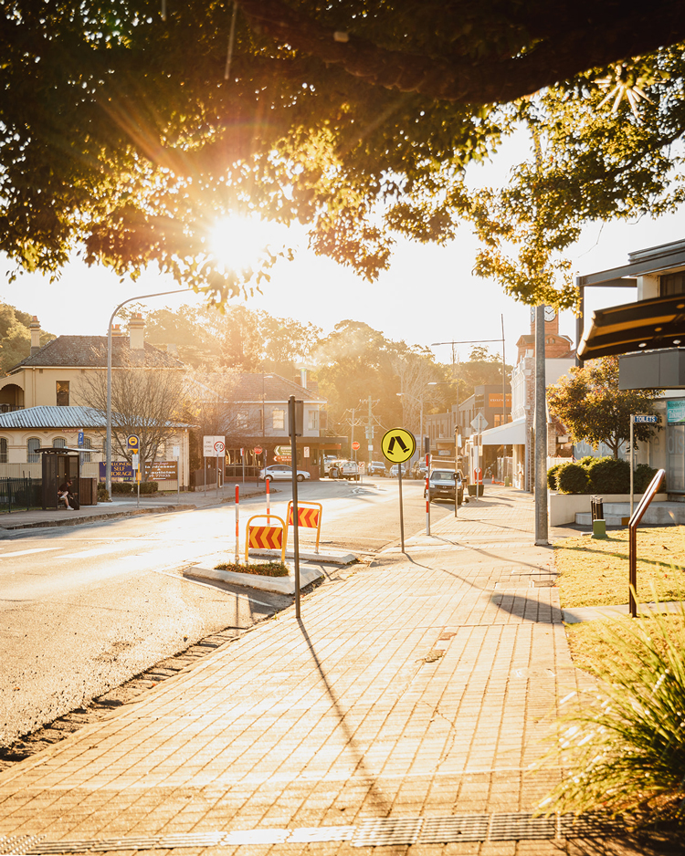
Major features of the Shire include Blue Mountains National Park, Kanangra Boyd National Park, Nattai National Park, Thirlmere Lakes National Park, Burragorang State Recreation Area, Dharawal State Recreation Area, Nattai State Recreation Area, Yerranderie State Recreation Area, Lake Burragorang, Cataract Dam, Warragamba Dam, Thirlmere Lakes, Razorback Range, University of Sydney Camden Campuses, Elizabeth Macarthur Agricultural Institute, Antill Park Golf Course, Picton Botanical Gardens, Queen Victoria Memorial Hospital and NSW Rail Transport Museum (Thirlmere). The Shire is serviced by the Hume Highway and the main southern railway line, with stations at Bargo, Douglas Park, Menangle, Picton and Tahmoor.
For information on attractions in the area head to Visit Wollondilly.
Wollondilly Community Profile
.id is an authoritative source of data that can be used to illustrate characteristics of regions and the communities living within them. The Community profile uses recent Census data to outline the makeup of the community and how it is has changed over time. The Community Profile is formatted to present data in simple language, with clear tables and charts and concise factual commentary. Other resources accessible through community profile include social atlas map, population forecast predictions and economic profile.
Towns Within Our Shire
Wollondilly Street Names
The Wollondilly Street Name Register is a searchable database listing existing road names within the shire with information on the history behind the name. Community members are able to contribute to the Street register by submitting additional or missing historical information, including photos to continue to preserve our local history. The database also provides a platform to suggest new road names for future developments within our shire.